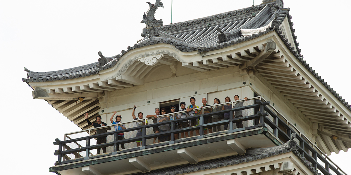
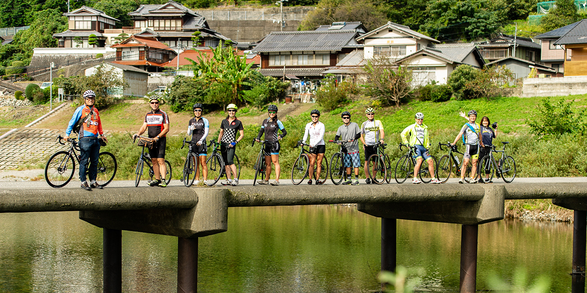
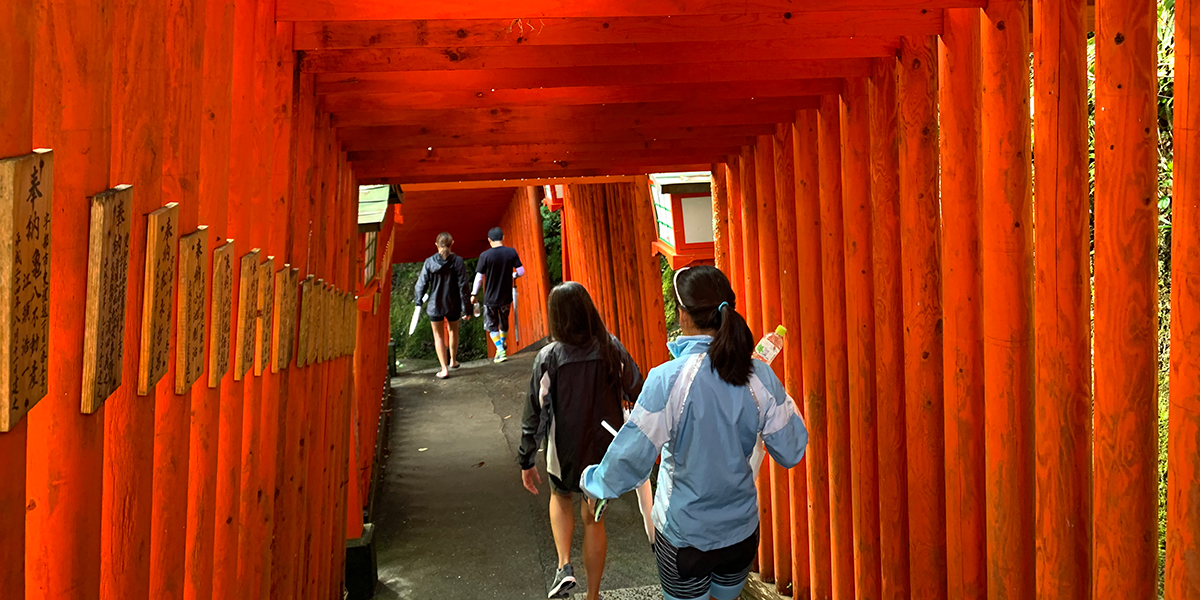
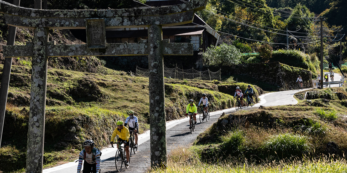
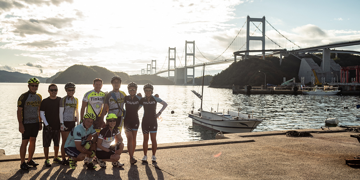
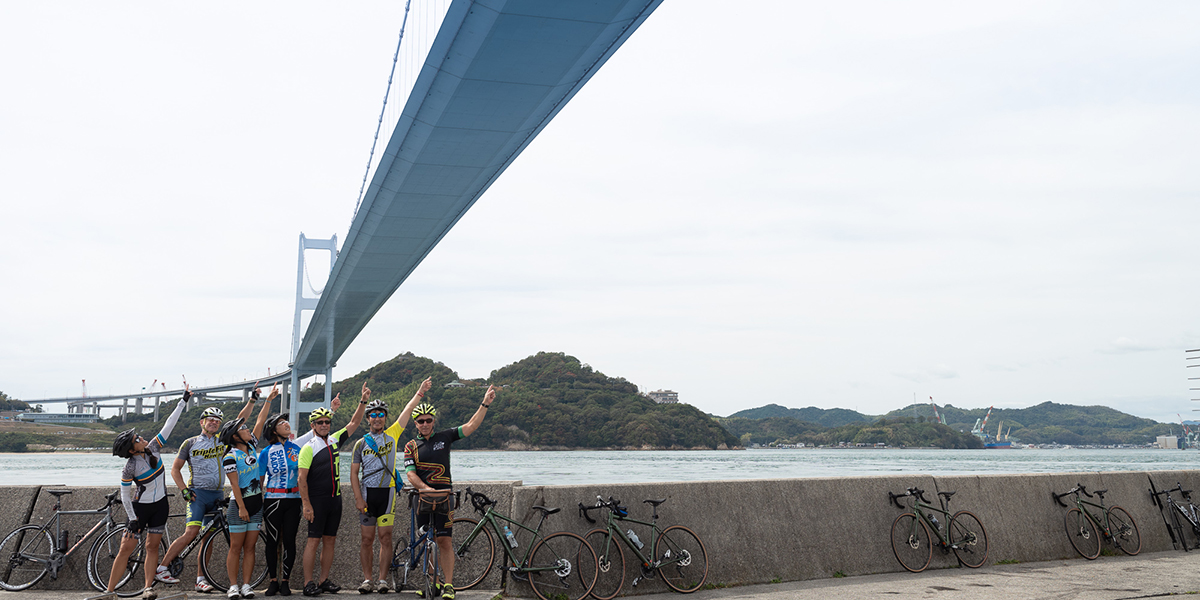
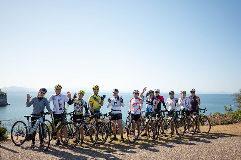
Taste of Japan Bike Tours lets you book and plan a custom tour exclusively for family, friends, and teammates. See what you want of Japan, when you want and with the people you want. Our travel experts can fulfill virtually any request and make your group’s dreams come true!
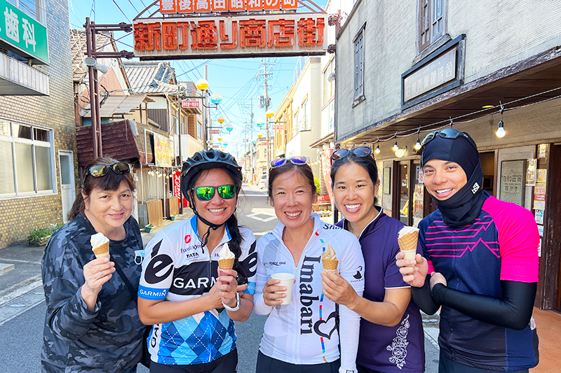
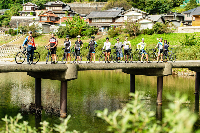
Take a leisurely bike ride across awesome bridges connecting Japanese islands, stop for cultural treasures along peaceful country roads, eat local delicacies in the quaint villages you visit, and take part in agricultural activities, fishing, and hiking. In addition, your group will have access to local transportation, including trains, boats, and buses. Of course, you’ll also try on kimonos, drink green tea, and take plenty of pictures. We’ll make your dreams of a cycling tour a reality. Let us know what kind of vacation you want, and we’ll work with you to tailor the perfect trip.